- Who we are -
Built on Precision. Operated with Discipline.
LumaTerra Aerials was founded to provide structured, professional aerial documentation services for contractors, developers, and property professionals who require reliable visual data, not guesswork.
We operate under a clear standard: defined scope, compliant flight procedures, organized data capture, and consistent deliverables.
Our Approach
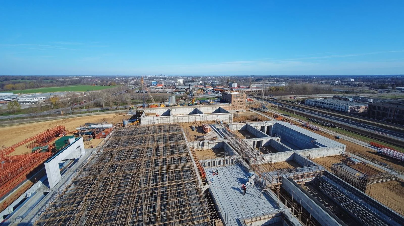
We treat every project as an operational assignment — not a casual flight.
Each engagement begins with airspace verification and compliance review, followed by a structured capture plan tailored to your site and reporting needs. Post-flight processing is organized, labeled, and quality-reviewed before delivery.
The result is clear, usable aerial documentation that supports inspection, planning, marketing, and risk mitigation.
Professional Standards
FAA Part 107 Certified
Fully insured
Documented flight workflows
Structured asset organization
Transparent communication
We emphasize professionalism at every stage — from pre-flight compliance to final asset delivery.
Why We Do It
Construction and property professionals need accurate visual information to make informed decisions. We believe aerial imaging should be organized, dependable, and repeatable, not improvised.
LumaTerra Aerials exists to bring clarity from above, delivered with precision and accountability.


Frequently Asked Questions
-
Drone photogrammetry is the process of capturing hundreds of overlapping aerial images and processing them with specialized software to create accurate 2D maps and detailed 3D models. These models can be used for site planning, construction monitoring, volume calculations, and project documentation, providing a clear and measurable view of a property or construction site.
-
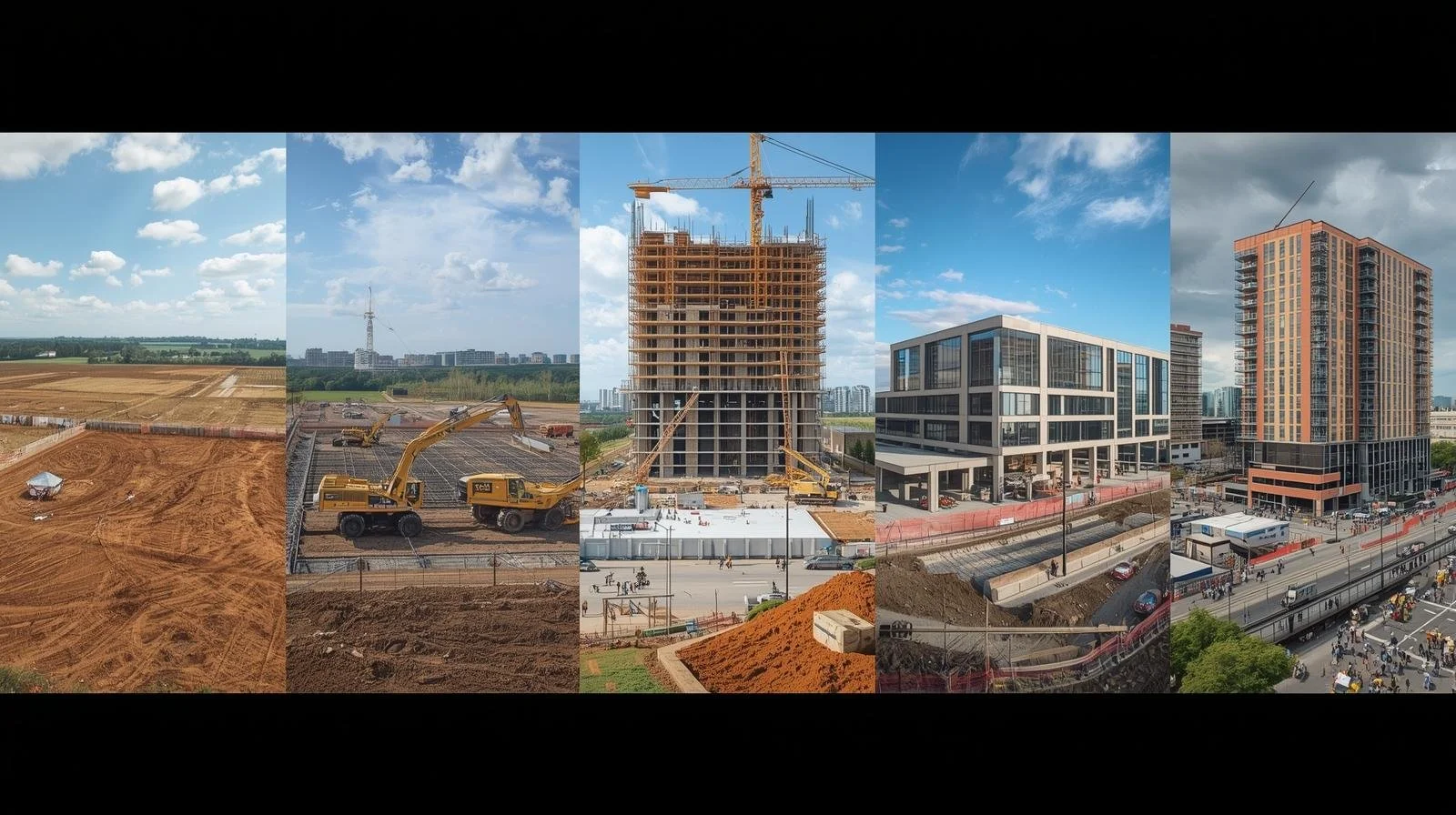
The ideal schedule depends on the pace of the project. Many construction teams choose bi-weekly or monthly flights to track progress, document milestones, and maintain a visual timeline of the build. Regular aerial documentation helps project managers communicate progress to stakeholders and maintain organized project records.
-
Depending on the scope of the project, clients may receive high-resolution aerial imagery, orthomosaic site maps, 3D models, and structured image documentation. These deliverables can be used for planning, reporting, marketing, inspections, or project management.
-
Turnaround times vary depending on the size of the project and the type of deliverables requested. Real estate photography is typically delivered within 24–48 hours, while photogrammetry models and construction documentation may take a few additional days due to the processing required to produce accurate mapping and 3D models.
-
In most cases, no special permission is required from the client, but all flights must comply with FAA regulations. As a licensed FAA Part 107 operator, LumaTerra Aerials handles airspace checks, flight planning, and compliance to ensure every operation is conducted safely and legally.
-
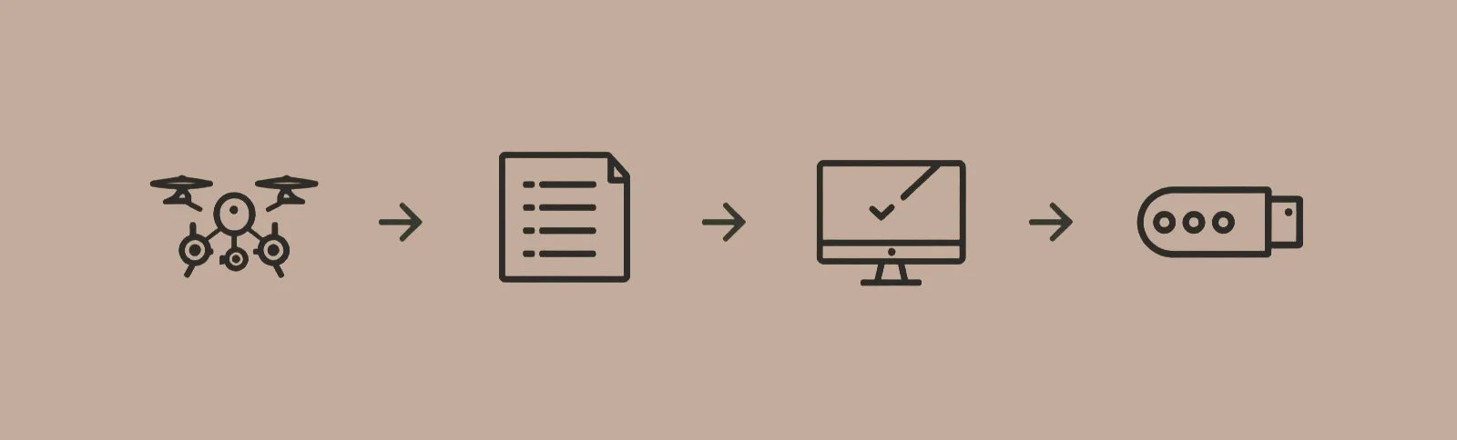
Working with LumaTerra Aerials is designed to be simple, professional, and dependable. Each project begins with a brief consultation to understand your site, timeline, and deliverables. From there, we manage flight planning, airspace compliance, and structured aerial data capture to ensure accurate and consistent results.
We stay engaged throughout the entire process, working alongside our clients every step of the way to maintain transparency, build trust, and ensure every project need is met. Once the flight is complete, all imagery and data are organized, processed, and delivered in a clear format ready for documentation, planning, marketing, or reporting.
Contact us
Interested in working together? Fill out some info and we will be in touch shortly. We can’t wait to hear from you!