Explore Our Services
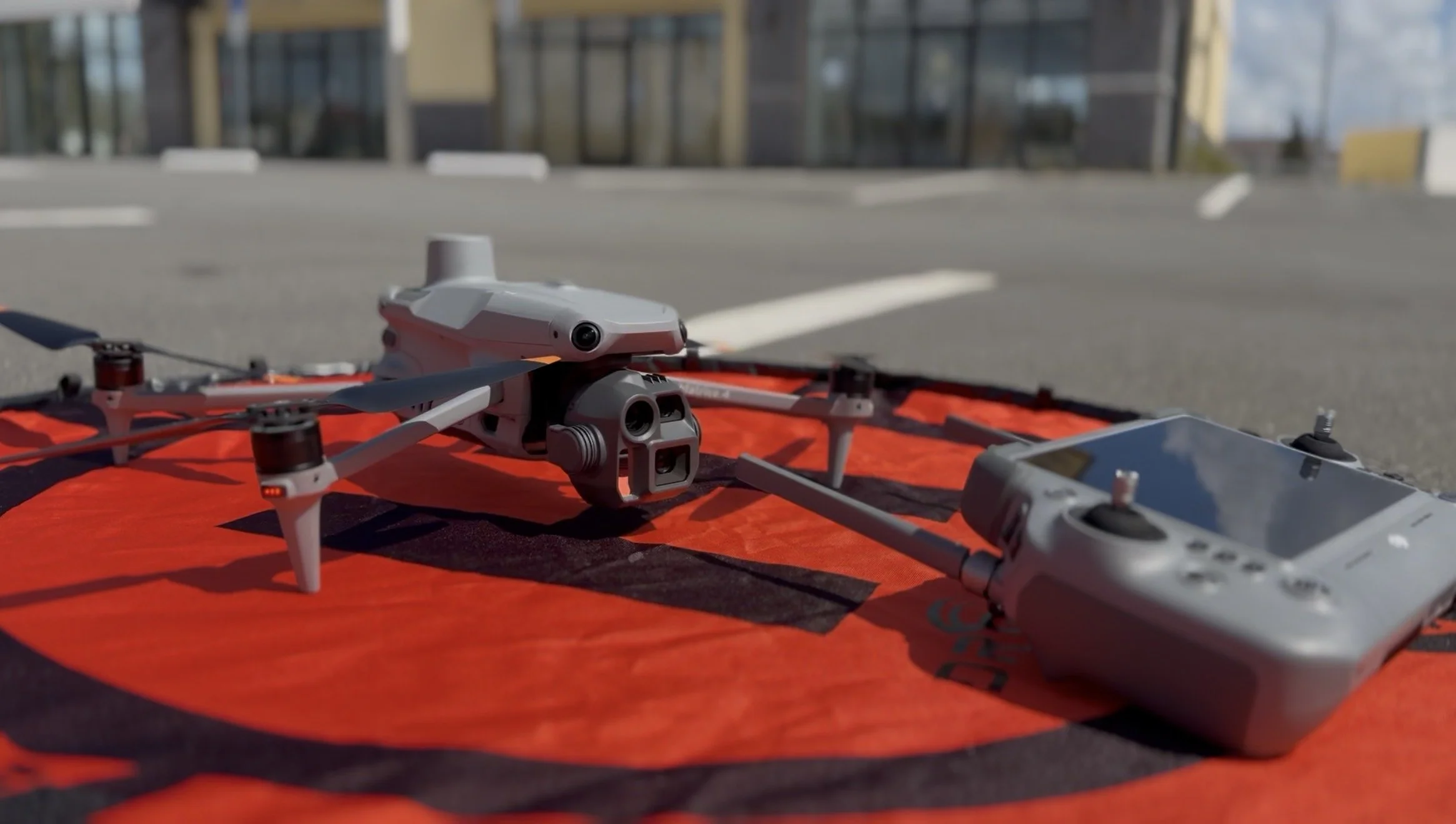
LumaTerra Aerials provides high-quality aerial imaging, photogrammetry, and structured site documentation for construction, inspection, and real estate professionals. Each service is delivered using organized flight workflows and FAA-compliant operations to ensure accurate data, clear visuals, and dependable results
what we offer
ROOF / Building / facade inspection
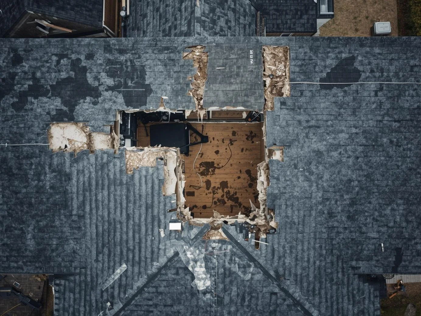
High-resolution aerial imaging of a building, roof or facade designed for contractors and adjusters who need fast high definition inspections.
Includes:
Detailed overhead and facade imagery
Close-angle condition capture
Annotations
Organized digital delivery
1-2 day turnaround
REAL ESTATE DRONE PHOTOGRAPHY & VIDEO

High-resolution aerial property imaging for agents who need cinematic aerial visuals crafted to showcase properties and attract serious buyers and mark out territory lines.Includes:Listing ready photography and videography
Dynamic angles and compositions
MLS optimized delivery
2-3 day turnaround
CONSTRUCTION PROGRESS DOCUMENTATION

Structured aerial documentation of on-sight conditions and materials designed to track progress and support project oversight.Includes:Scheduled site captures
Timeline-based reporting
Stakeholder ready delivery
1-2 day turnaround